SPOOR artist’s book, (GOST, London, 2019)
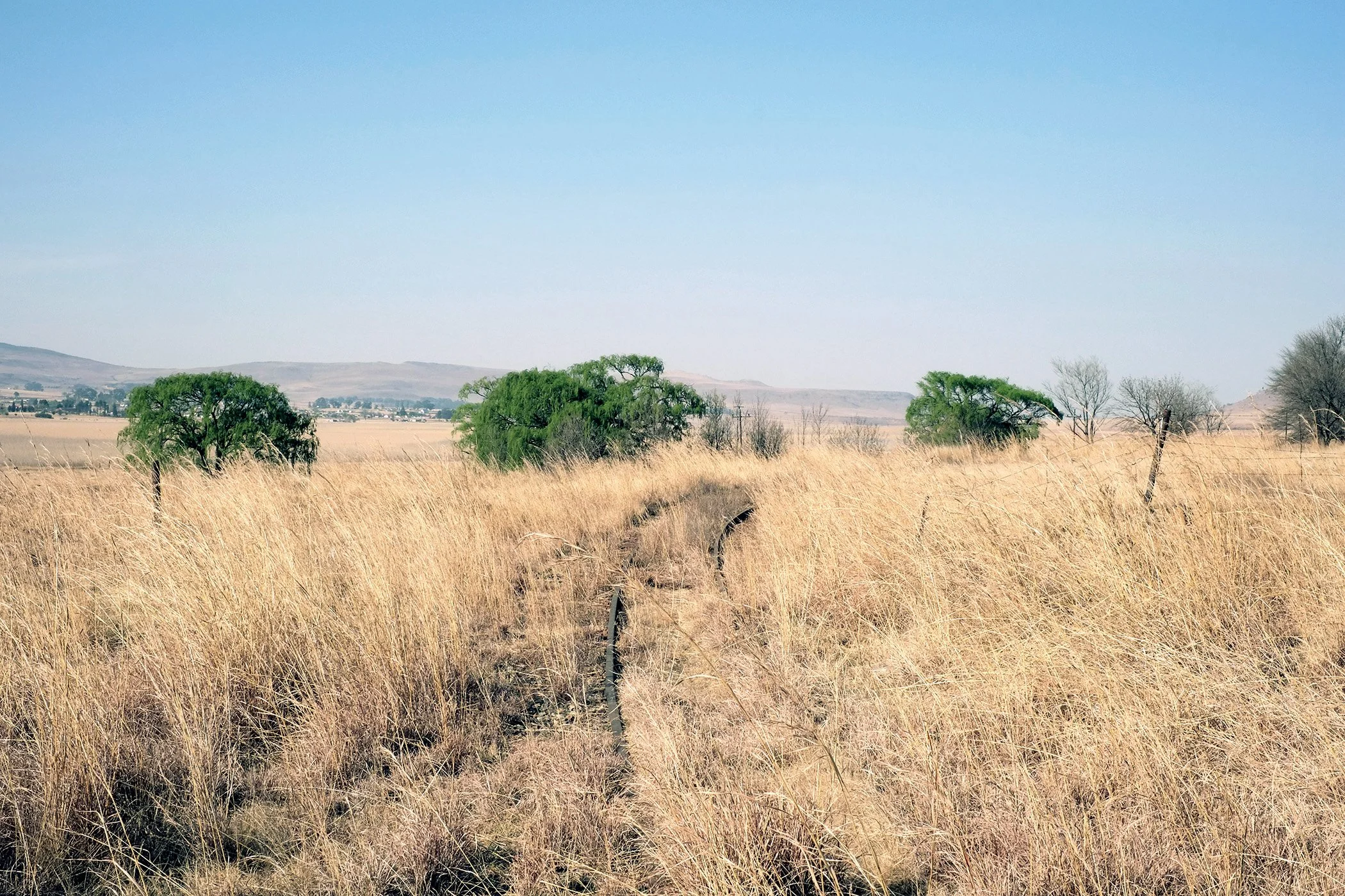
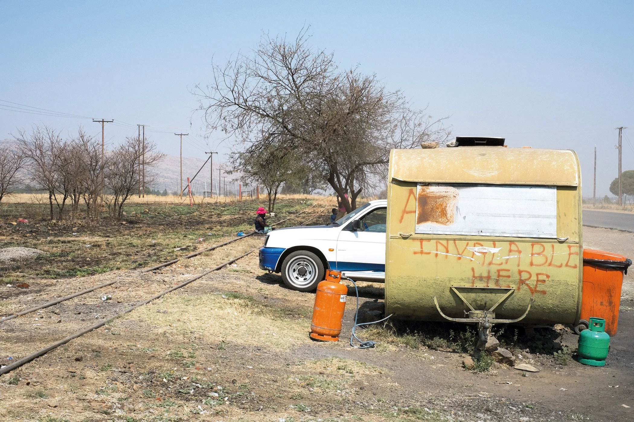
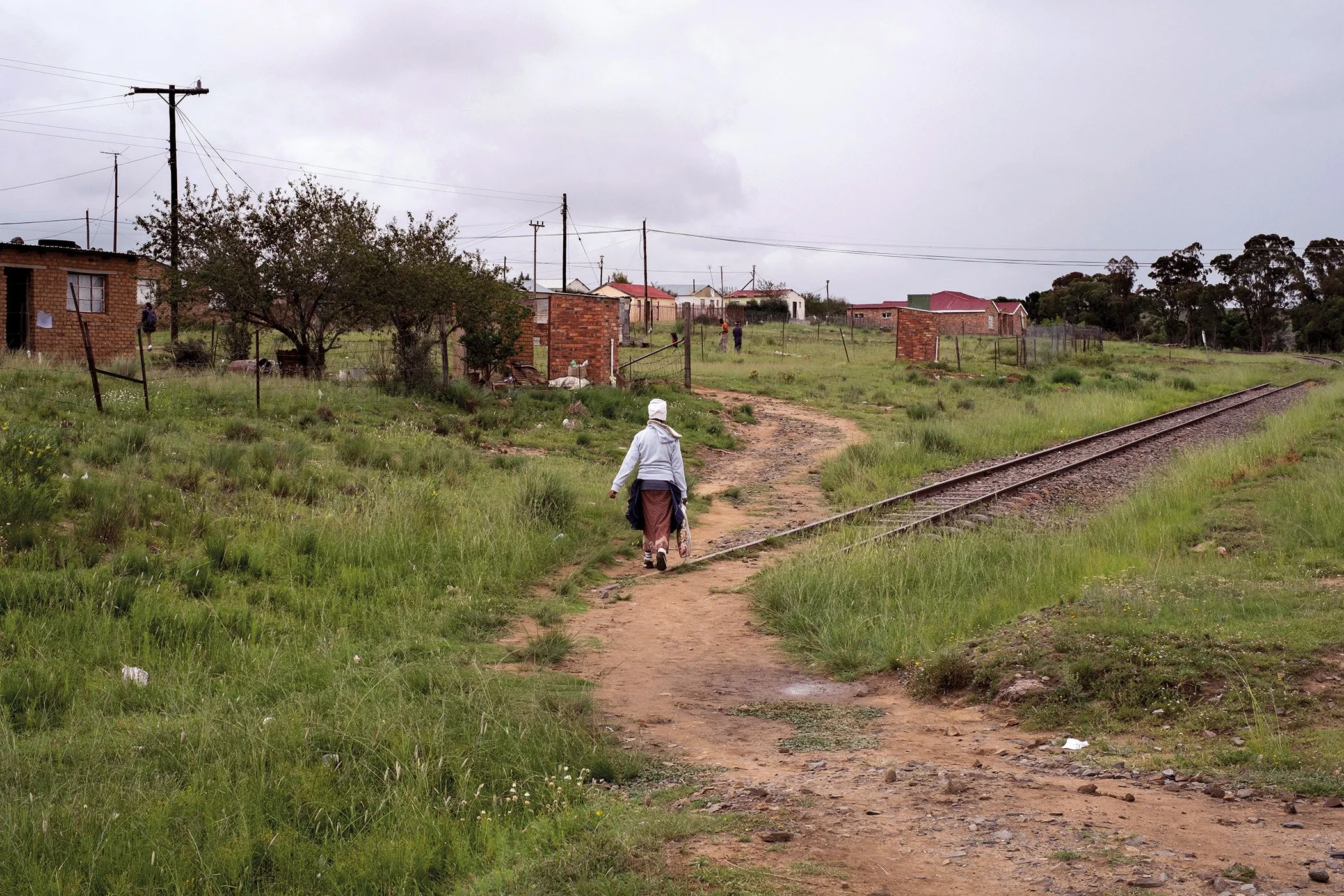
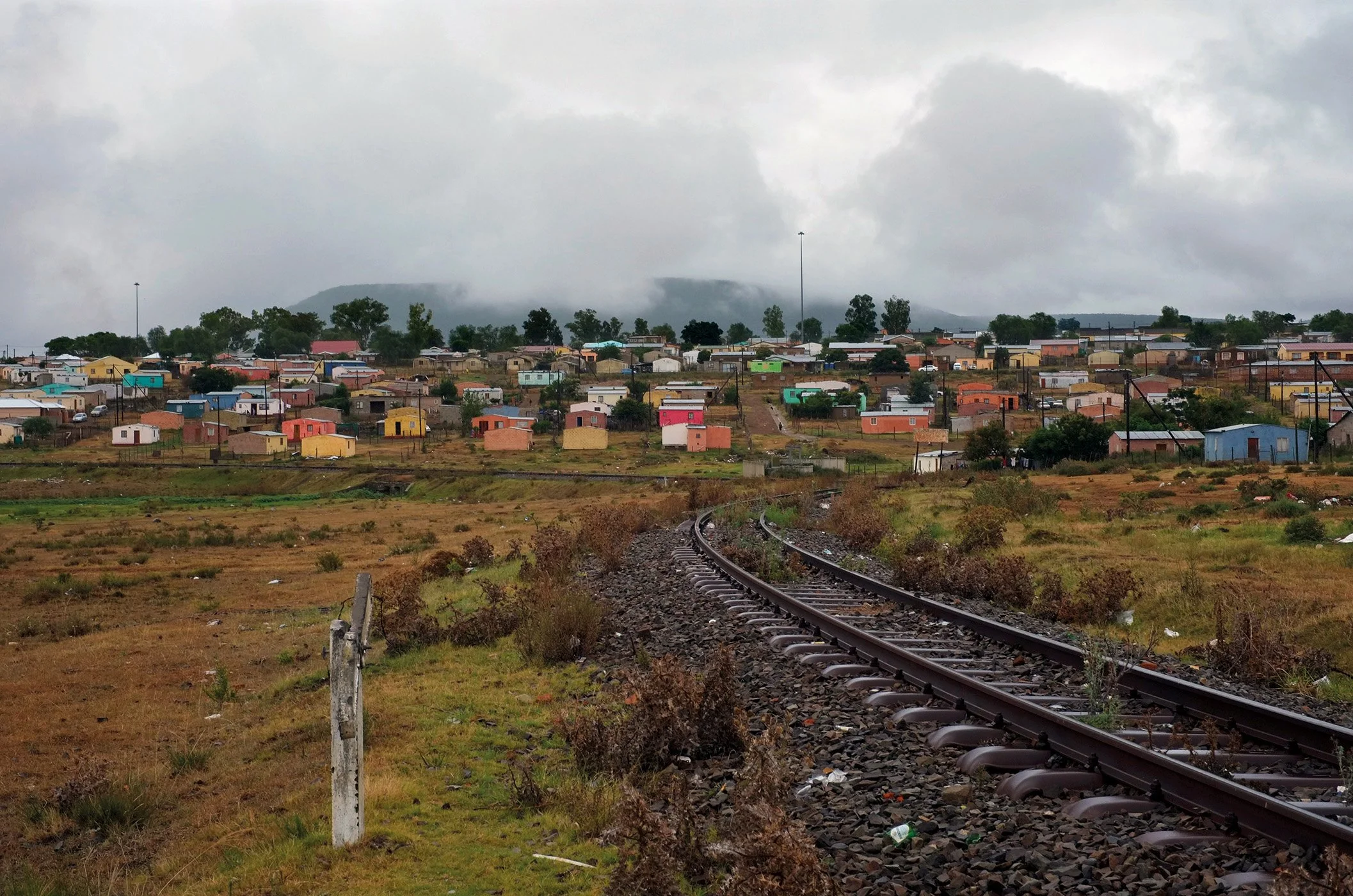
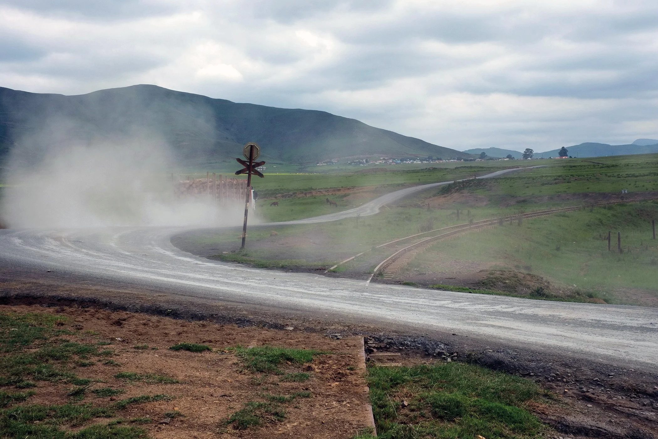
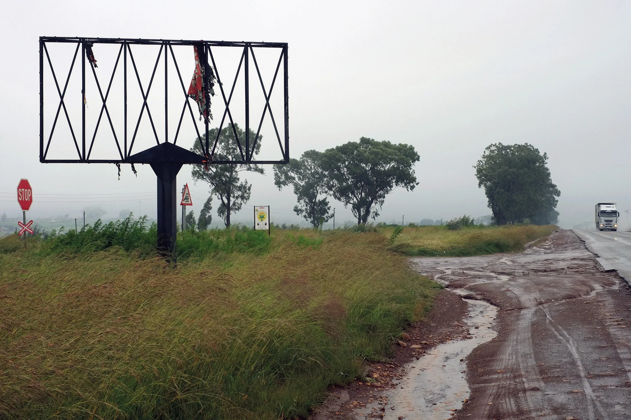
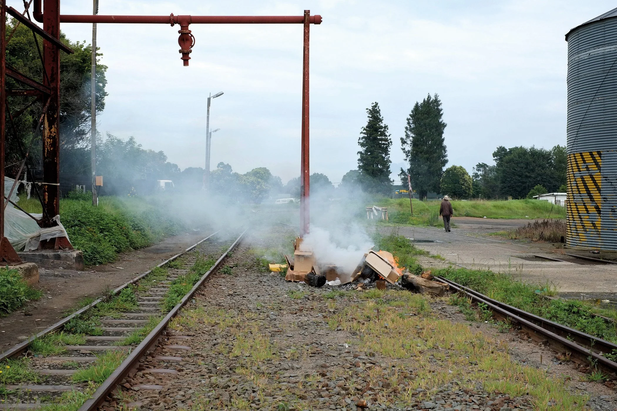
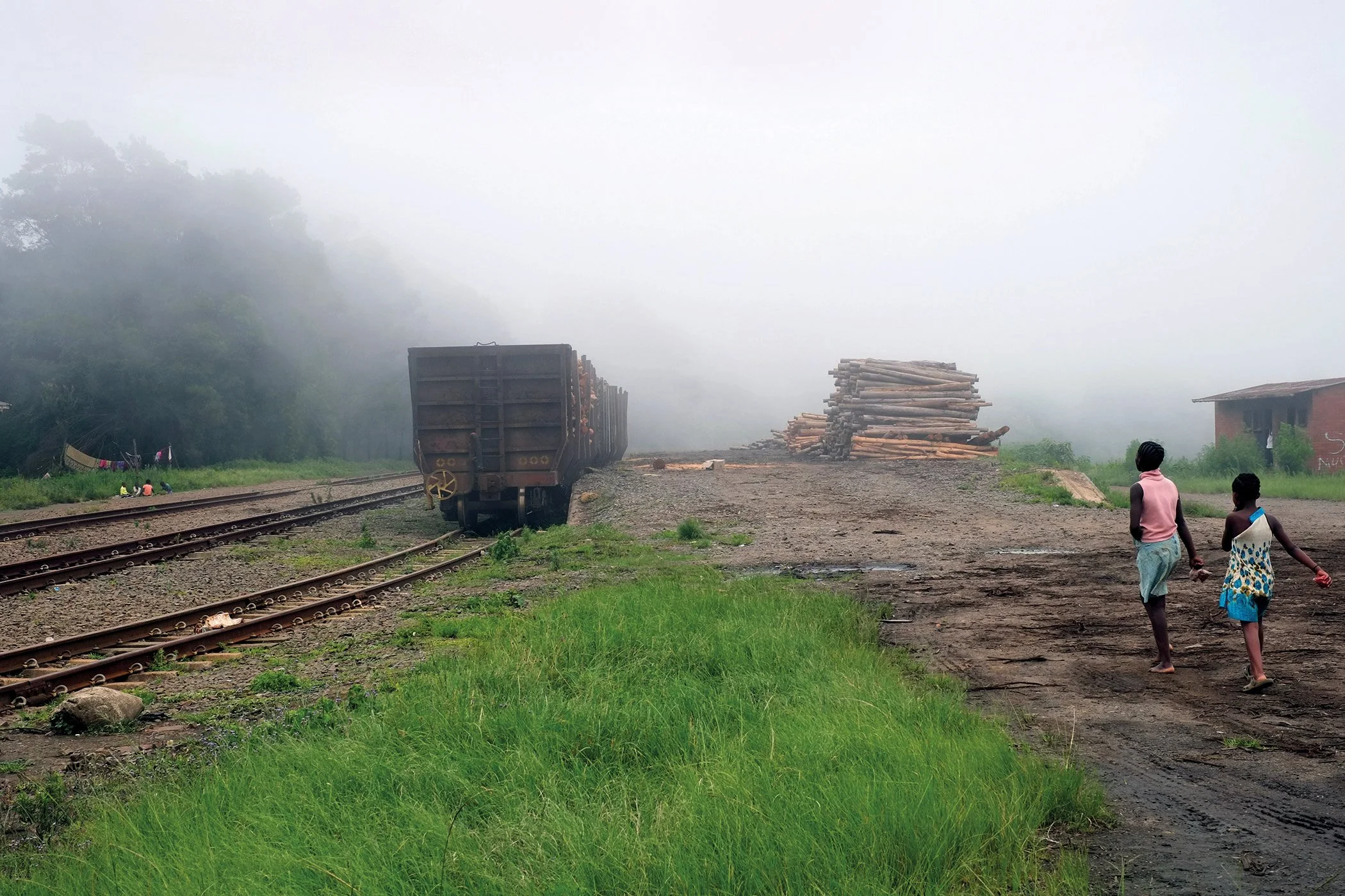
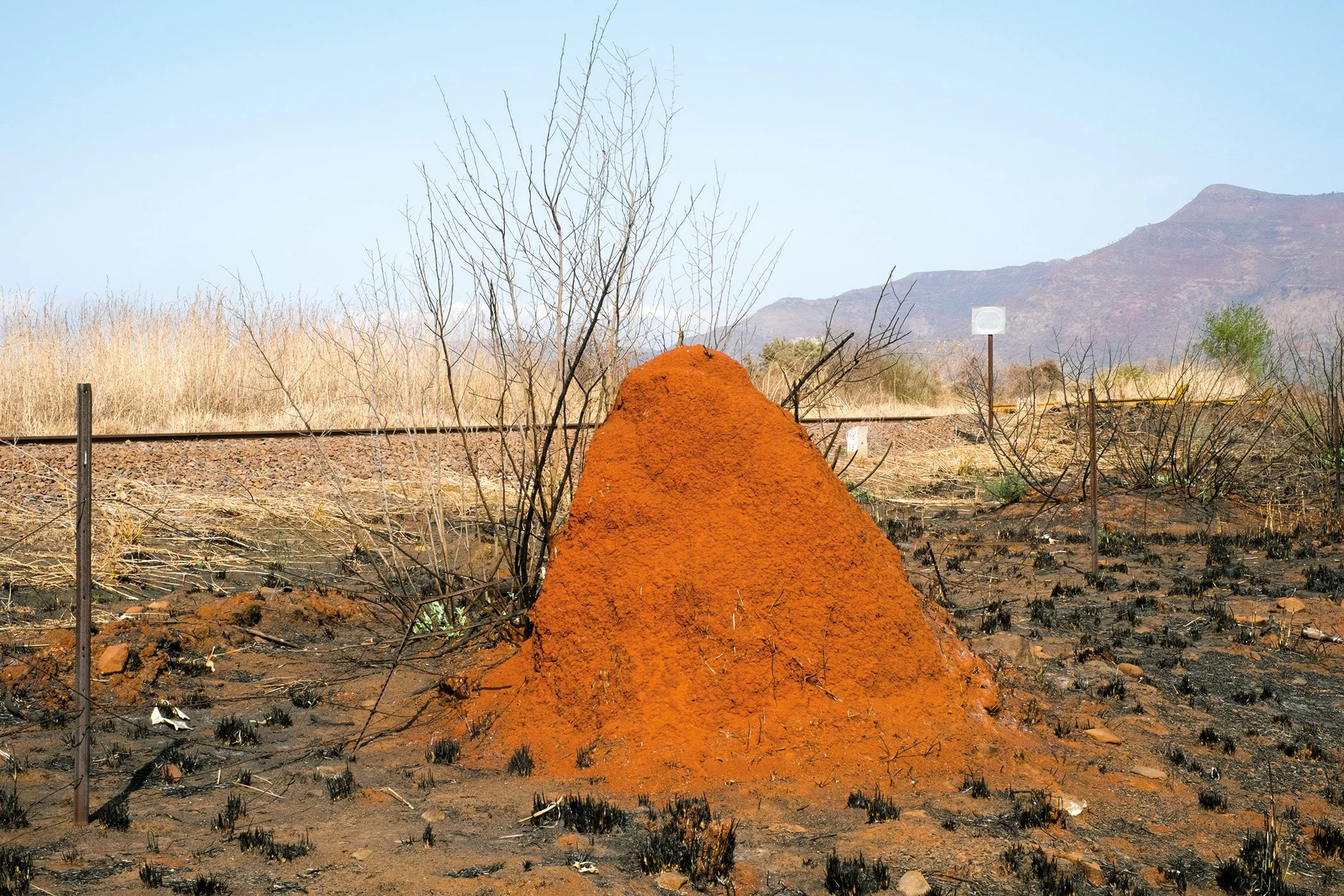
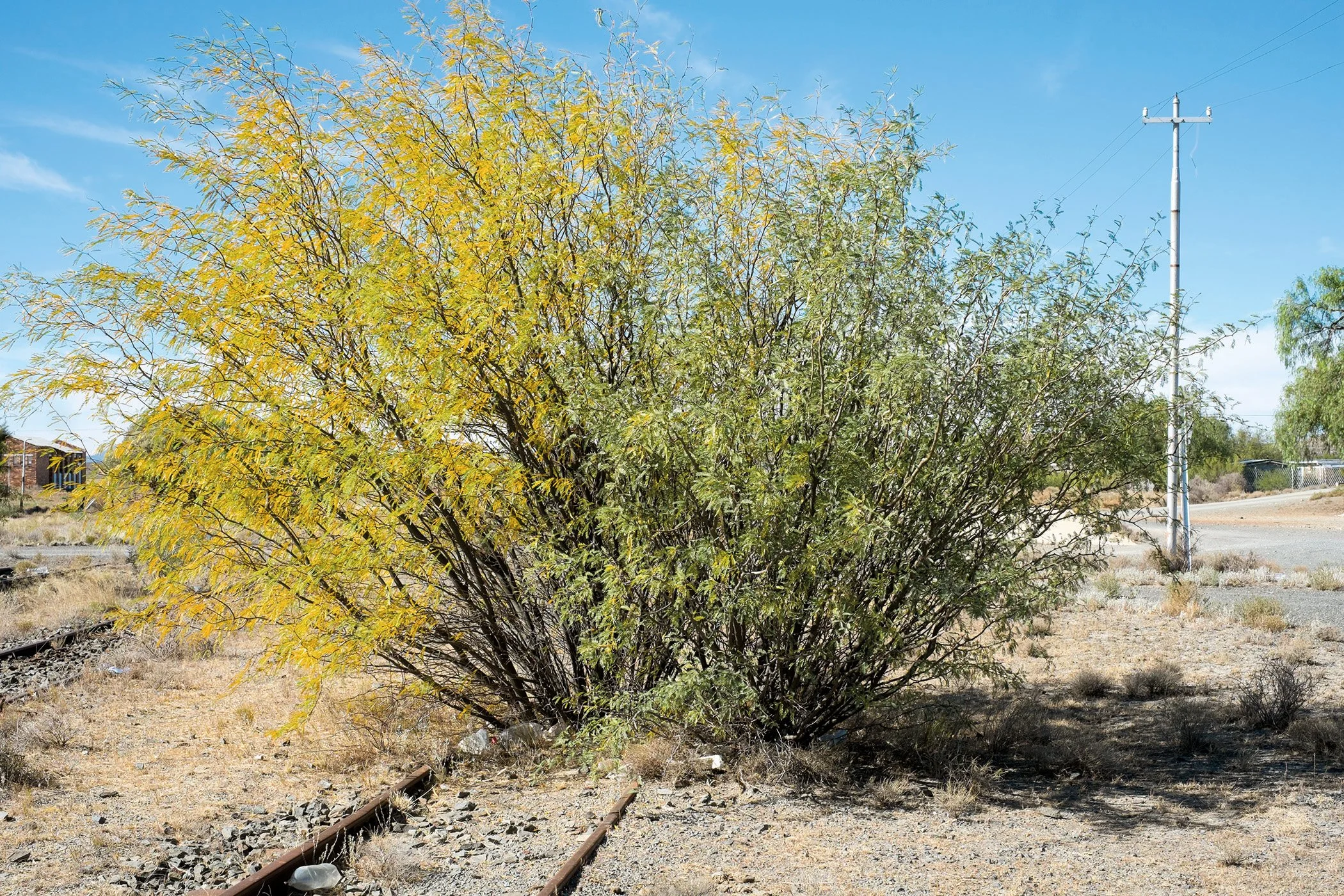
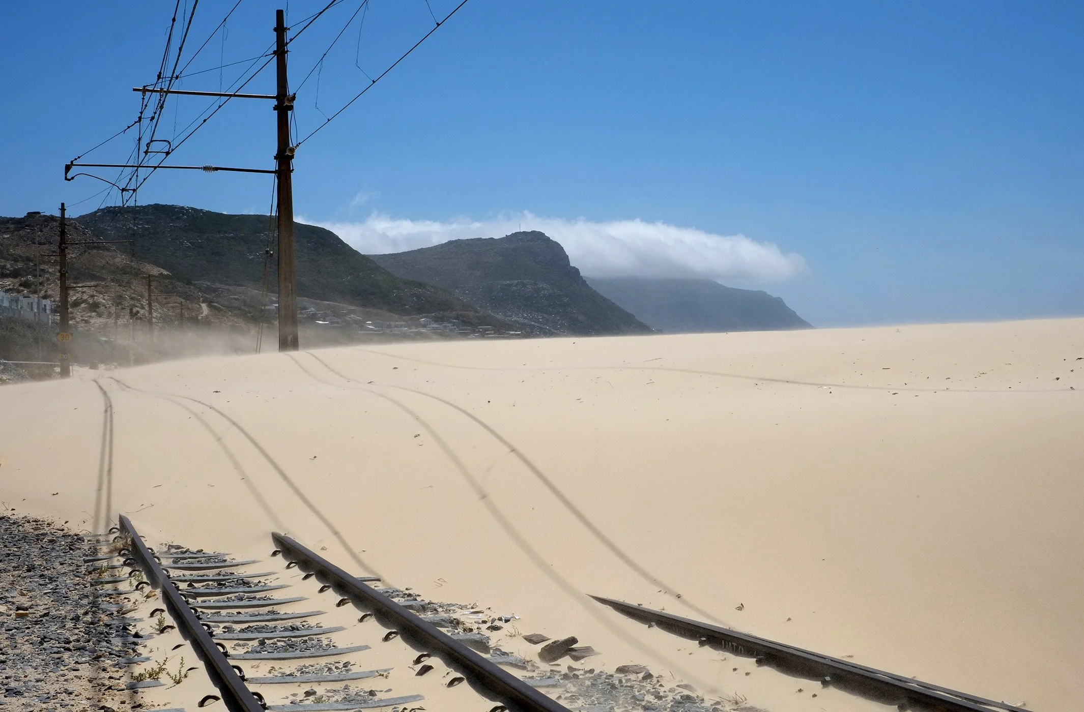
During several visits to South Africa (2014-18), I drove along minor roads through the country’s nine provinces. My aim was to follow rural rail routes between towns and settlements. From the 550 or so places where I stopped to make pictures, SPOOR presents a selection of 83 images in ten series.
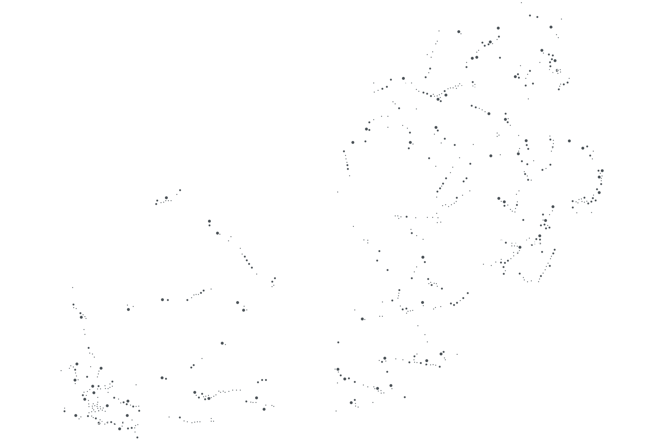
Each series is preceded by a double page of station place names arranged according to their locations on an otherwise invisible national map. These random configurations of places are governed by my selection of picture sequences, the sites of which may be relatively close to each other or separated by vast distances.
Some of the names indicate regional centres, including several that have been re-named in the post-apartheid era. Others refer only to the faded railway signage that preserves their fragile status as places.
SPOOR culminates in a ‘map’ drawing of all photographic sites, a revised version of which locates this selection of photographs.
